Niddside, Darley
Introduction
The photograph on this page of Niddside, Darley by Derek Harper as part of the Geograph project.
The Geograph project started in 2005 with the aim of publishing, organising and preserving representative images for every square kilometre of Great Britain, Ireland and the Isle of Man.

There are currently over 7.5m images from over 14,400 individuals and you can help contribute to the project by visiting https://www.geograph.org.uk
Niddside, Darley
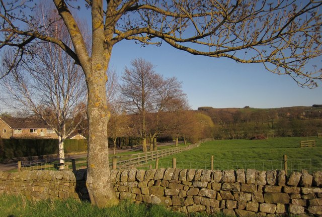
Image: © Derek Harper Taken: 5 Apr 2012
From Station Road, which (see Image) leads down here from the village of Darley. A group of four houses occupies the area close to the site of the former Darley Station - the only remaining station is an electricity sub-one.
Images are licensed for reuse under creativecommons.org/licenses/by-sa/2.0
Image Location
Latitude
54.033689
Longitude
-1.687285