View near Darley
Introduction
The photograph on this page of View near Darley by Derek Harper as part of the Geograph project.
The Geograph project started in 2005 with the aim of publishing, organising and preserving representative images for every square kilometre of Great Britain, Ireland and the Isle of Man.

There are currently over 7.5m images from over 14,400 individuals and you can help contribute to the project by visiting https://www.geograph.org.uk
View near Darley
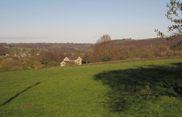
Image: © Derek Harper Taken: 5 Apr 2012
From Station Road just below the built-up area of Darley, looking down the Nidd valley, with one of the houses on Niddside. On the left, across the river, are a cluster of buildings around White Oak and Birchfield Farms.
Images are licensed for reuse under creativecommons.org/licenses/by-sa/2.0
Image Location
Latitude
54.0327
Longitude
-1.687445