A M G 1764
Introduction
The photograph on this page of A M G 1764 by Bill Nicholls as part of the Geograph project.
The Geograph project started in 2005 with the aim of publishing, organising and preserving representative images for every square kilometre of Great Britain, Ireland and the Isle of Man.

There are currently over 7.5m images from over 14,400 individuals and you can help contribute to the project by visiting https://www.geograph.org.uk
A M G 1764
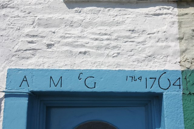
Image: © Bill Nicholls Taken: 27 May 2012
I presume it was the builder of the house in 1764 which is along South Crescent, Garlieston.
Images are licensed for reuse under creativecommons.org/licenses/by-sa/2.0
Image Location


Leaflet Map data © OpenStreetMap
Latitude
54.789058
Longitude
-4.369039