Dar al-Islam Foundation, Cricklewood, London NW2
Introduction
The photograph on this page of Dar al-Islam Foundation, Cricklewood, London NW2 by Jaggery as part of the Geograph project.
The Geograph project started in 2005 with the aim of publishing, organising and preserving representative images for every square kilometre of Great Britain, Ireland and the Isle of Man.

There are currently over 7.5m images from over 14,400 individuals and you can help contribute to the project by visiting https://www.geograph.org.uk
Dar al-Islam Foundation, Cricklewood, London NW2
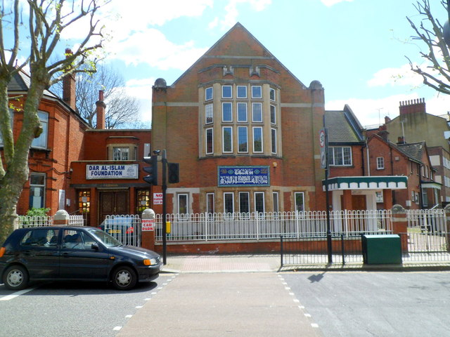
Image: © Jaggery Taken: 12 May 2012
Located at 61 Anson Road, on the corner of Chichele Road. Dar al-Islam is Arabic for house or abode of Islam.
Images are licensed for reuse under creativecommons.org/licenses/by-sa/2.0
Image Location
Latitude
51.553035
Longitude
-0.217216