Oakengates Regeneration
Introduction
The photograph on this page of Oakengates Regeneration by Gordon Cragg as part of the Geograph project.
The Geograph project started in 2005 with the aim of publishing, organising and preserving representative images for every square kilometre of Great Britain, Ireland and the Isle of Man.

There are currently over 7.5m images from over 14,400 individuals and you can help contribute to the project by visiting https://www.geograph.org.uk
Oakengates Regeneration
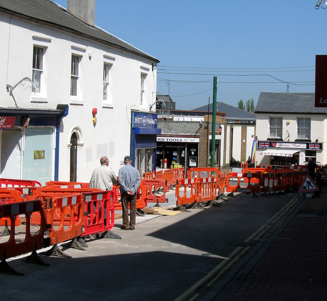
Image: © Gordon Cragg Taken: 26 May 2012
The second phase of the Oakengates town centre regeneration is now in progress with the re-furbishment of Oxford St.
Images are licensed for reuse under creativecommons.org/licenses/by-sa/2.0
Image Location
Latitude
52.694924
Longitude
-2.45021