B6165 at Summerbridge
Introduction
The photograph on this page of B6165 at Summerbridge by Derek Harper as part of the Geograph project.
The Geograph project started in 2005 with the aim of publishing, organising and preserving representative images for every square kilometre of Great Britain, Ireland and the Isle of Man.

There are currently over 7.5m images from over 14,400 individuals and you can help contribute to the project by visiting https://www.geograph.org.uk
B6165 at Summerbridge
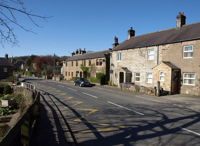
Image: © Derek Harper Taken: 5 Apr 2012
The house on the right can be seen on the left of Image; on the left is the junction with Foundry Lane, which runs down to the Nidd near the weir.
Images are licensed for reuse under creativecommons.org/licenses/by-sa/2.0
Image Location
Latitude
54.058424
Longitude
-1.694738