Caer Dane hill fort
Introduction
The photograph on this page of Caer Dane hill fort by Rod Allday as part of the Geograph project.
The Geograph project started in 2005 with the aim of publishing, organising and preserving representative images for every square kilometre of Great Britain, Ireland and the Isle of Man.

There are currently over 7.5m images from over 14,400 individuals and you can help contribute to the project by visiting https://www.geograph.org.uk
Caer Dane hill fort
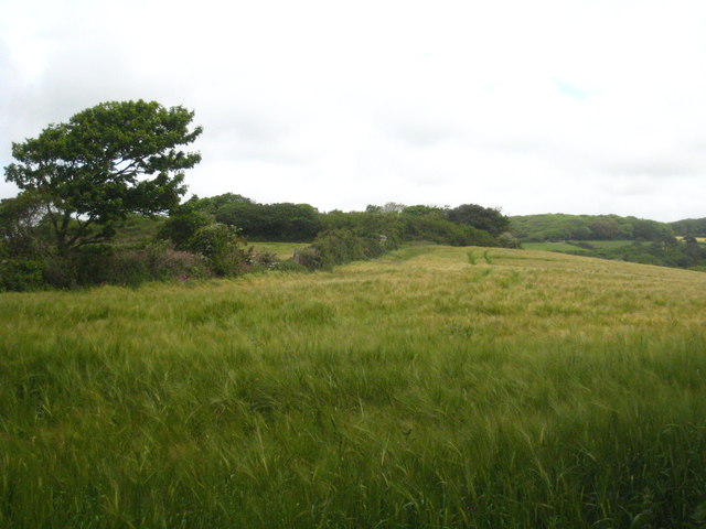
Image: © Rod Allday Taken: 30 May 2012
The fort is covered by the trees on the low summit in the centre of the photo.
Images are licensed for reuse under creativecommons.org/licenses/by-sa/2.0
Image Location
Latitude
50.327267
Longitude
-5.123937