Footpath at Ringley
Introduction
The photograph on this page of Footpath at Ringley by David Dixon as part of the Geograph project.
The Geograph project started in 2005 with the aim of publishing, organising and preserving representative images for every square kilometre of Great Britain, Ireland and the Isle of Man.

There are currently over 7.5m images from over 14,400 individuals and you can help contribute to the project by visiting https://www.geograph.org.uk
Footpath at Ringley
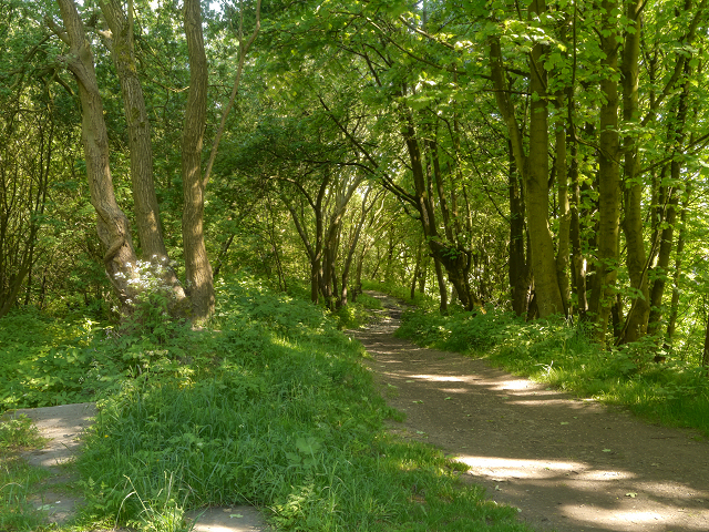
Image: © David Dixon Taken: 26 May 2012
The path here runs to the right of what used to be the Manchester, Bolton and Bury Canal; now filled in, overgrown and consumed by the woodland.
Images are licensed for reuse under creativecommons.org/licenses/by-sa/2.0
Image Location
Latitude
53.546848
Longitude
-2.361863