Grassmillees Farm
Introduction
The photograph on this page of Grassmillees Farm by Bob Forrest as part of the Geograph project.
The Geograph project started in 2005 with the aim of publishing, organising and preserving representative images for every square kilometre of Great Britain, Ireland and the Isle of Man.

There are currently over 7.5m images from over 14,400 individuals and you can help contribute to the project by visiting https://www.geograph.org.uk
Grassmillees Farm
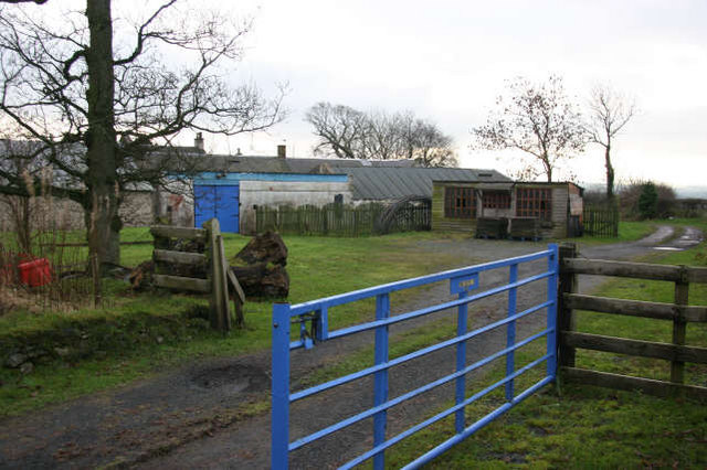
Image: © Bob Forrest Taken: 21 Dec 2006
The farm lies on the side of the B705 from Mauchline to Cumnock via Catrine and Auchinleck. Some of the land of this farm has been given up for the development of private housing on the outskirts of Mauchline. The land being developed offers, at present, almost unrestricted views to the south over the Mauchline basin.
Images are licensed for reuse under creativecommons.org/licenses/by-sa/2.0
Image Location
Latitude
55.509317
Longitude
-4.368893