Local sawmill
Introduction
The photograph on this page of Local sawmill by Bob Forrest as part of the Geograph project.
The Geograph project started in 2005 with the aim of publishing, organising and preserving representative images for every square kilometre of Great Britain, Ireland and the Isle of Man.

There are currently over 7.5m images from over 14,400 individuals and you can help contribute to the project by visiting https://www.geograph.org.uk
Local sawmill
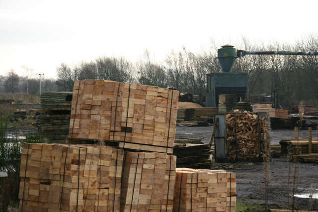
Image: © Bob Forrest Taken: 21 Dec 2006
Sawmill mainly producing materials for the local farming community e.g. fence posts. It uses the former site of sandstone quarries which produced the once famous Ballochmyle sandstone. The sandstone was formed under desert conditions and fossilised sand dunes, of possibly Permian age, were found in the quarries until they were filled in during the latter decades of the 20th century.
Images are licensed for reuse under creativecommons.org/licenses/by-sa/2.0
Image Location
Latitude
55.508266
Longitude
-4.376749