Hillside by Greenway Lane
Introduction
The photograph on this page of Hillside by Greenway Lane by Derek Harper as part of the Geograph project.
The Geograph project started in 2005 with the aim of publishing, organising and preserving representative images for every square kilometre of Great Britain, Ireland and the Isle of Man.

There are currently over 7.5m images from over 14,400 individuals and you can help contribute to the project by visiting https://www.geograph.org.uk
Hillside by Greenway Lane
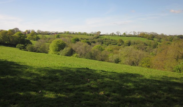
Image: © Derek Harper Taken: 22 May 2012
Not the only Greenway Lane in the area; see Image The view is towards a side valley of the Luppitt valley. Part of the hillside is mapped as "The Rookery".
Images are licensed for reuse under creativecommons.org/licenses/by-sa/2.0
Image Location
Latitude
50.844734
Longitude
-3.200155