Summers Lane at the junction to the civic amenity site
Introduction
The photograph on this page of Summers Lane at the junction to the civic amenity site by David Howard as part of the Geograph project.
The Geograph project started in 2005 with the aim of publishing, organising and preserving representative images for every square kilometre of Great Britain, Ireland and the Isle of Man.

There are currently over 7.5m images from over 14,400 individuals and you can help contribute to the project by visiting https://www.geograph.org.uk
Summers Lane at the junction to the civic amenity site
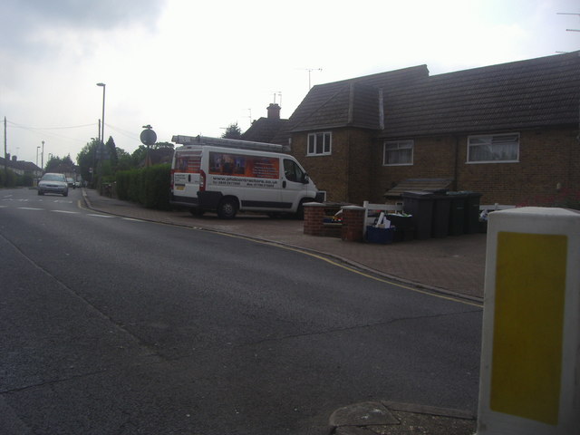
Image: © David Howard Taken: 29 May 2012
The local rubbish dump is the only one in Barnet borough since they closed the other one near Brent Cross. Being at the eastern end of the borough means people on the other side now have some way to travel to get there.
Images are licensed for reuse under creativecommons.org/licenses/by-sa/2.0
Image Location
Latitude
51.608609
Longitude
-0.164781