Balnarn
Introduction
The photograph on this page of Balnarn by Richard Webb as part of the Geograph project.
The Geograph project started in 2005 with the aim of publishing, organising and preserving representative images for every square kilometre of Great Britain, Ireland and the Isle of Man.

There are currently over 7.5m images from over 14,400 individuals and you can help contribute to the project by visiting https://www.geograph.org.uk
Balnarn
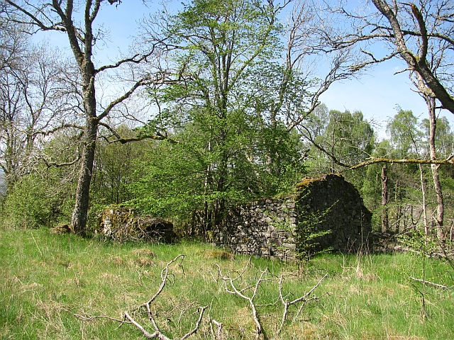
Image: © Richard Webb Taken: 23 May 2012
A ruin of one of the buildings at Balnarn. There were several buildings here according to the 19th century maps.
Images are licensed for reuse under creativecommons.org/licenses/by-sa/2.0
Image Location


Leaflet Map data © OpenStreetMap
Latitude
56.695522
Longitude
-3.986098