Nottingham - NG1 (Arboretum Area)
Introduction
The photograph on this page of Nottingham - NG1 (Arboretum Area) by David Hallam-Jones as part of the Geograph project.
The Geograph project started in 2005 with the aim of publishing, organising and preserving representative images for every square kilometre of Great Britain, Ireland and the Isle of Man.

There are currently over 7.5m images from over 14,400 individuals and you can help contribute to the project by visiting https://www.geograph.org.uk
Nottingham - NG1 (Arboretum Area)
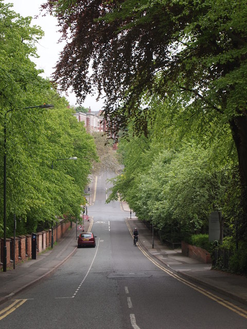
Image: © David Hallam-Jones Taken: 20 May 2012
The Waverley Street/Peel Street/Clarendon Street crossroads as seen from Clarendon Street. A section of the General Cemetery boundary wall is visible on the left and on the horizon, through the trees, a glimpse of the former Women's Hospital buildings (now apartments) can be caught.
Images are licensed for reuse under creativecommons.org/licenses/by-sa/2.0
Image Location
Latitude
52.958073
Longitude
-1.157256