Middlewood Way
Introduction
The photograph on this page of Middlewood Way by John M as part of the Geograph project.
The Geograph project started in 2005 with the aim of publishing, organising and preserving representative images for every square kilometre of Great Britain, Ireland and the Isle of Man.

There are currently over 7.5m images from over 14,400 individuals and you can help contribute to the project by visiting https://www.geograph.org.uk
Middlewood Way
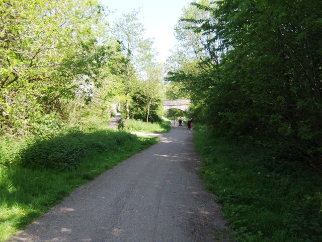
Image: © John M Taken: 26 May 2012
The trackbed and cutting towards Marple is very different from its British Rail days. Image The line was a victim of the Beeching re-organisation closing in 1970.
Images are licensed for reuse under creativecommons.org/licenses/by-sa/2.0
Image Location
Latitude
53.2954
Longitude
-2.106632