Holy Trinity Church
Introduction
The photograph on this page of Holy Trinity Church by David P Howard as part of the Geograph project.
The Geograph project started in 2005 with the aim of publishing, organising and preserving representative images for every square kilometre of Great Britain, Ireland and the Isle of Man.

There are currently over 7.5m images from over 14,400 individuals and you can help contribute to the project by visiting https://www.geograph.org.uk
Holy Trinity Church
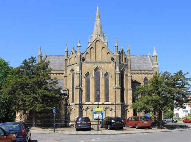
Image: © David P Howard Taken: 27 May 2012
The east side of the church. Holy Trinity is uniquely a Parish Church and a Garrison Church with permission to display the White Ensign. http://www.achurchnearyou.com/windsor-holy-trinity/
Images are licensed for reuse under creativecommons.org/licenses/by-sa/2.0
Image Location
Latitude
51.47854
Longitude
-0.613692