Notts - NG16 (Annesley Lane End)
Introduction
The photograph on this page of Notts - NG16 (Annesley Lane End) by David Hallam-Jones as part of the Geograph project.
The Geograph project started in 2005 with the aim of publishing, organising and preserving representative images for every square kilometre of Great Britain, Ireland and the Isle of Man.

There are currently over 7.5m images from over 14,400 individuals and you can help contribute to the project by visiting https://www.geograph.org.uk
Notts - NG16 (Annesley Lane End)
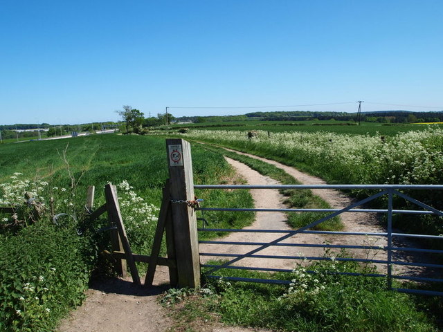
Image: © David Hallam-Jones Taken: 26 May 2012
This footpath commences (or finishes) on the right-hand side of Annesley Lane, just before Annesley Lane crosses the M1 motorway and thereafter becomes Salmon Lane. As can be seen here the footpath runs almost parallel with the motorway and thus a ramble through this arable farmland cannot be guaranteed to be a quiet one. The other end (or the beginning) of the path leads walkers out onto the side of the A608, near to the Sherwood Business Park.
Images are licensed for reuse under creativecommons.org/licenses/by-sa/2.0
Image Location
Latitude
53.072261
Longitude
-1.284434