Grindsbrook Road
Introduction
The photograph on this page of Grindsbrook Road by Bill Boaden as part of the Geograph project.
The Geograph project started in 2005 with the aim of publishing, organising and preserving representative images for every square kilometre of Great Britain, Ireland and the Isle of Man.

There are currently over 7.5m images from over 14,400 individuals and you can help contribute to the project by visiting https://www.geograph.org.uk
Grindsbrook Road
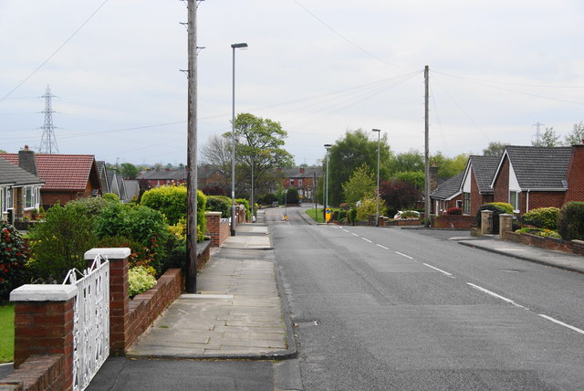
Image: © Bill Boaden Taken: 19 May 2012
This could be a rat run, cutting off a corner between the A58 and the B6292 to Radcliffe, but it is only of benefit in a southerly direction.
Images are licensed for reuse under creativecommons.org/licenses/by-sa/2.0
Image Location
Latitude
53.57909
Longitude
-2.340238