Upper Green from the air
Introduction
The photograph on this page of Upper Green from the air by Thomas Nugent as part of the Geograph project.
The Geograph project started in 2005 with the aim of publishing, organising and preserving representative images for every square kilometre of Great Britain, Ireland and the Isle of Man.

There are currently over 7.5m images from over 14,400 individuals and you can help contribute to the project by visiting https://www.geograph.org.uk
Upper Green from the air
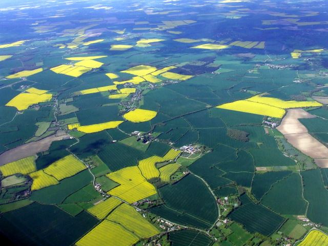
Image: © Thomas Nugent Taken: 11 May 2012
Upper Green is slight to the left of the centre of the photo which was taken from a Luton bound flight from Prague.
Images are licensed for reuse under creativecommons.org/licenses/by-sa/2.0
Image Location
Latitude
51.971668
Longitude
0.131296