Playground, Kimberley
Introduction
The photograph on this page of Playground, Kimberley by Sue Adair as part of the Geograph project.
The Geograph project started in 2005 with the aim of publishing, organising and preserving representative images for every square kilometre of Great Britain, Ireland and the Isle of Man.

There are currently over 7.5m images from over 14,400 individuals and you can help contribute to the project by visiting https://www.geograph.org.uk
Playground, Kimberley
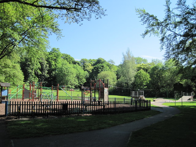
Image: © Sue Adair Taken: 27 May 2012
Playground in Queen Elizabeth II Diamond Fields, Kimberley or locally known as Hall Om Wong, its unusual name from old English summarised as “Mr Hall’s home piece of land”. References date back to the 1700’s.
Images are licensed for reuse under creativecommons.org/licenses/by-sa/2.0
Image Location
Latitude
52.999323
Longitude
-1.263886