East India DLR station
Introduction
The photograph on this page of East India DLR station by Marathon as part of the Geograph project.
The Geograph project started in 2005 with the aim of publishing, organising and preserving representative images for every square kilometre of Great Britain, Ireland and the Isle of Man.

There are currently over 7.5m images from over 14,400 individuals and you can help contribute to the project by visiting https://www.geograph.org.uk
East India DLR station
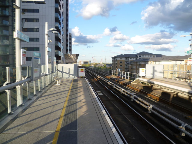
Image: © Marathon Taken: 11 May 2012
East India DLR station takes its name from the nearby former East India Docks where ships trading with the Indian subcontinent used to dock. East India Dock is now a nature reserve and is visible from the DLR on the right hand side between East India and Canning Town. The station opened as part of the Beckton Branch, on 28th March 1994. The Greenwich Meridian line crosses the DLR just to the east of the platforms, and a small trackside sign indicates this. East India station was originally to be named Brunswick Wharf and this name was shown on the 1994 'all projections' map.
Images are licensed for reuse under creativecommons.org/licenses/by-sa/2.0
Image Location
Latitude
51.509538
Longitude
-0.00131