Smelthouses
Introduction
The photograph on this page of Smelthouses by Derek Harper as part of the Geograph project.
The Geograph project started in 2005 with the aim of publishing, organising and preserving representative images for every square kilometre of Great Britain, Ireland and the Isle of Man.

There are currently over 7.5m images from over 14,400 individuals and you can help contribute to the project by visiting https://www.geograph.org.uk
Smelthouses
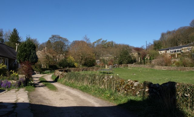
Image: © Derek Harper Taken: 5 Apr 2012
Bridleway 15 55/84/1 passes houses as it approaches the lane through the hamlet.
Images are licensed for reuse under creativecommons.org/licenses/by-sa/2.0
Image Location
Latitude
54.073466
Longitude
-1.707923