Southport from St Annes
Introduction
The photograph on this page of Southport from St Annes by Gerald England as part of the Geograph project.
The Geograph project started in 2005 with the aim of publishing, organising and preserving representative images for every square kilometre of Great Britain, Ireland and the Isle of Man.

There are currently over 7.5m images from over 14,400 individuals and you can help contribute to the project by visiting https://www.geograph.org.uk
Southport from St Annes
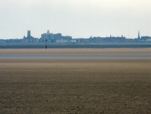
Image: © Gerald England Taken: 14 Apr 2012
Across Salter's Bank and the River Ribble to Southport with a telephoto lens. On the left is the tower of Holy Trinity Image On the right is the spire of St George's Image
Images are licensed for reuse under creativecommons.org/licenses/by-sa/2.0
Image Location
Latitude
53.650115
Longitude
-2.996801