Carnegie Library, Oswaldtwistle
Introduction
The photograph on this page of Carnegie Library, Oswaldtwistle by David Dixon as part of the Geograph project.
The Geograph project started in 2005 with the aim of publishing, organising and preserving representative images for every square kilometre of Great Britain, Ireland and the Isle of Man.

There are currently over 7.5m images from over 14,400 individuals and you can help contribute to the project by visiting https://www.geograph.org.uk
Carnegie Library, Oswaldtwistle
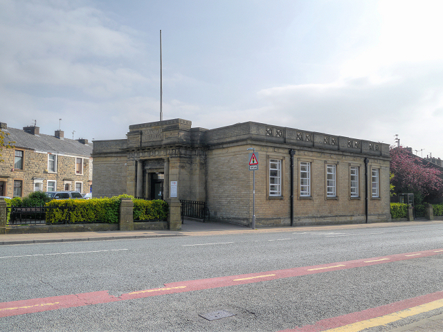
Image: © David Dixon Taken: 21 May 2012
The Carnegie* library at the junction of Havelock Street and Union Street in the town centre (the area known as "Gobbinland" http://gobbinland.com/about/ ). * a Carnegie library is a library built with money donated by Scottish-American businessman and philanthropist Andrew Carnegie. 660 such libraries were built in Britain and Ireland between 1883 and 1929; Oswaldtwistle's dates from 1915.
Images are licensed for reuse under creativecommons.org/licenses/by-sa/2.0
Image Location
Latitude
53.742227
Longitude
-2.398261