The Royal Steamer and Townfield Street
Introduction
The photograph on this page of The Royal Steamer and Townfield Street by John Sutton as part of the Geograph project.
The Geograph project started in 2005 with the aim of publishing, organising and preserving representative images for every square kilometre of Great Britain, Ireland and the Isle of Man.

There are currently over 7.5m images from over 14,400 individuals and you can help contribute to the project by visiting https://www.geograph.org.uk
The Royal Steamer and Townfield Street
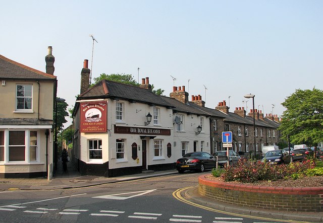
Image: © John Sutton Taken: 23 May 2012
This proved a good place to spend time between close of play at the County Ground and the arrival of the train which took me home. The twitchel to the left of the pub leads to Glebe Road.
Images are licensed for reuse under creativecommons.org/licenses/by-sa/2.0
Image Location
Latitude
51.737402
Longitude
0.467441