View near Netton
Introduction
The photograph on this page of View near Netton by Derek Harper as part of the Geograph project.
The Geograph project started in 2005 with the aim of publishing, organising and preserving representative images for every square kilometre of Great Britain, Ireland and the Isle of Man.

There are currently over 7.5m images from over 14,400 individuals and you can help contribute to the project by visiting https://www.geograph.org.uk
View near Netton
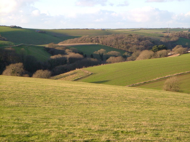
Image: © Derek Harper Taken: 16 Dec 2006
Looking WNW from the Stoke Point car park on the coast lane, across the valleys south of Noss Mayo. The building on the right is Clevemoor. Brooking Down's Wood is in SX5447.
Images are licensed for reuse under creativecommons.org/licenses/by-sa/2.0
Image Location


Leaflet Map data © OpenStreetMap
Latitude
50.303327
Longitude
-4.034644