Stopsley: Butterfield Green Road
Introduction
The photograph on this page of Stopsley: Butterfield Green Road by Nigel Cox as part of the Geograph project.
The Geograph project started in 2005 with the aim of publishing, organising and preserving representative images for every square kilometre of Great Britain, Ireland and the Isle of Man.

There are currently over 7.5m images from over 14,400 individuals and you can help contribute to the project by visiting https://www.geograph.org.uk
Stopsley: Butterfield Green Road
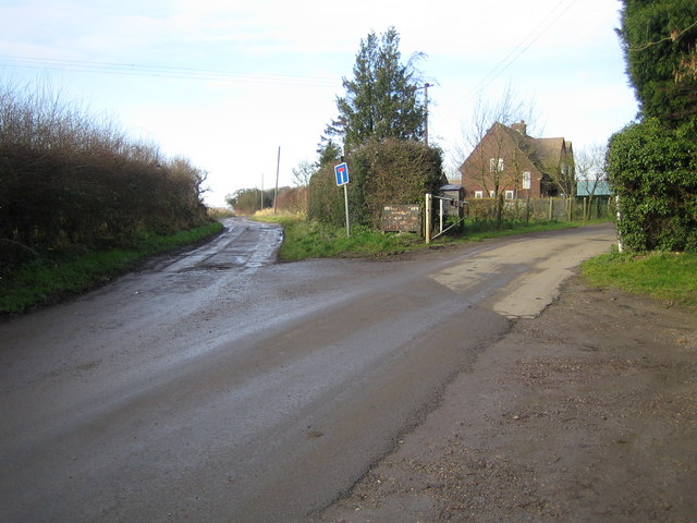
Image: © Nigel Cox Taken: 19 Dec 2006
The end of the yellow road on the map is at this junction. The road to the left leads to Whitehill Farm, the track to the left to Whitehill Reservoir and Whitehill Wood.
Images are licensed for reuse under creativecommons.org/licenses/by-sa/2.0
Image Location
Latitude
51.914377
Longitude
-0.394867