Avenue of trees on Figge's Marsh
Introduction
The photograph on this page of Avenue of trees on Figge's Marsh by Marathon as part of the Geograph project.
The Geograph project started in 2005 with the aim of publishing, organising and preserving representative images for every square kilometre of Great Britain, Ireland and the Isle of Man.

There are currently over 7.5m images from over 14,400 individuals and you can help contribute to the project by visiting https://www.geograph.org.uk
Avenue of trees on Figge's Marsh
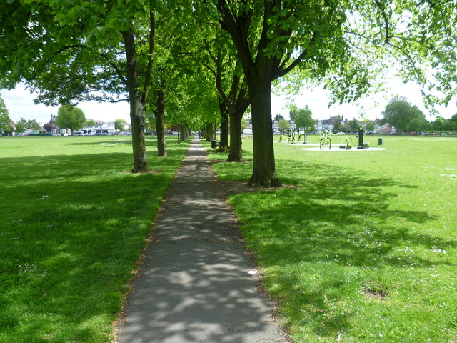
Image: © Marathon Taken: 16 May 2012
Despite suggestions that this was formerly Pigs’ Marsh, Figge's Marsh was in fact named after William Figge, who held the land from 1357. It was common land and had been vested in the Board of Mitcham Common Conservators since 1891. It was taken over by Mitcham Urban District Council under a private Act in 1923. The area was mostly built up in the mid-20th century, much of it with council housing. Figge's Marsh was formerly home to Tooting Graveney FC (which is now Tooting and Mitcham FC) and Mitcham Rugby Club. Figge's Marsh is completely flat and very largely featureless.
Images are licensed for reuse under creativecommons.org/licenses/by-sa/2.0
Image Location


Leaflet Map data © OpenStreetMap
Latitude
51.412502
Longitude
-0.160278