Former Bell Pit - Swannington
Introduction
The photograph on this page of Former Bell Pit - Swannington by Ashley Dace as part of the Geograph project.
The Geograph project started in 2005 with the aim of publishing, organising and preserving representative images for every square kilometre of Great Britain, Ireland and the Isle of Man.

There are currently over 7.5m images from over 14,400 individuals and you can help contribute to the project by visiting https://www.geograph.org.uk
Former Bell Pit - Swannington
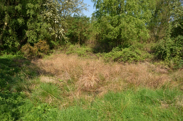
Image: © Ashley Dace Taken: 21 May 2012
At 5.73 acres the Gorse Field is larger than the average field in the Swannington area. It is a centuries-old fragile heath grassland, which is quite rare in Leicestershire, as most fields have been subject to intensive agricultural practices, such as ploughing, which destroys the natural habitat. There is documentary evidence of bell pit mining at the Gorse Field in 1205, a decade before King John sealed the Magna Carta. http://www.swannington-heritage.co.uk/swannington_gorse_field.html
Images are licensed for reuse under creativecommons.org/licenses/by-sa/2.0
Image Location
Latitude
52.749694
Longitude
-1.39299