Nottingham - NG5 (New Basford)
Introduction
The photograph on this page of Nottingham - NG5 (New Basford) by David Hallam-Jones as part of the Geograph project.
The Geograph project started in 2005 with the aim of publishing, organising and preserving representative images for every square kilometre of Great Britain, Ireland and the Isle of Man.

There are currently over 7.5m images from over 14,400 individuals and you can help contribute to the project by visiting https://www.geograph.org.uk
Nottingham - NG5 (New Basford)
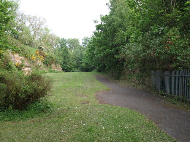
Image: © David Hallam-Jones Taken: 23 May 2012
This footpath at the end of Camelot Avenue (a cul-de-sac), that commences behind the photographer, leads into this meadow that now exists within the walls of this sandstone-walled former railway cutting. When the Great Central Railway Company ran trains through here (until the late 60s) this meadow did not exist, indeed the cutting was even deeper than it is now, before it was substantially filled in and it became the public green space that it now is.
Images are licensed for reuse under creativecommons.org/licenses/by-sa/2.0
Image Location
Latitude
52.97518
Longitude
-1.161093