Mill, Tredegar House
Introduction
The photograph on this page of Mill, Tredegar House by John Lamper as part of the Geograph project.
The Geograph project started in 2005 with the aim of publishing, organising and preserving representative images for every square kilometre of Great Britain, Ireland and the Isle of Man.

There are currently over 7.5m images from over 14,400 individuals and you can help contribute to the project by visiting https://www.geograph.org.uk
Mill, Tredegar House
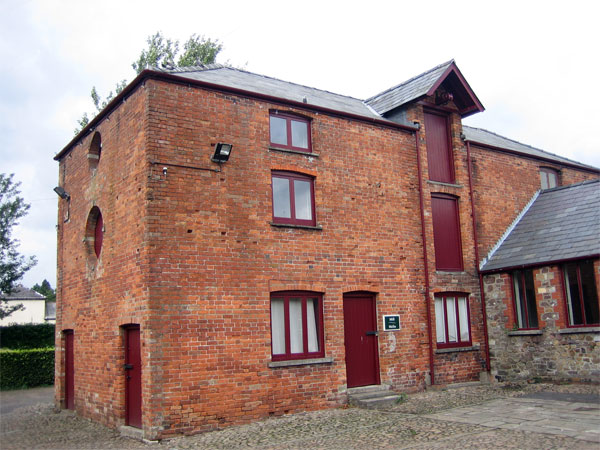
Image: © John Lamper Taken: 20 Aug 2006
Set in a beautiful 90 acre park, Tredegar House is one of the best examples of a 17th century Charles II mansion in Britain. The earliest surviving part of the building dates back to the early 1500’s.
Images are licensed for reuse under creativecommons.org/licenses/by-sa/2.0
Image Location
Latitude
51.560849
Longitude
-3.026733