Farm on the southern edge of Ribchester
Introduction
The photograph on this page of Farm on the southern edge of Ribchester by Bill Boaden as part of the Geograph project.
The Geograph project started in 2005 with the aim of publishing, organising and preserving representative images for every square kilometre of Great Britain, Ireland and the Isle of Man.

There are currently over 7.5m images from over 14,400 individuals and you can help contribute to the project by visiting https://www.geograph.org.uk
Farm on the southern edge of Ribchester
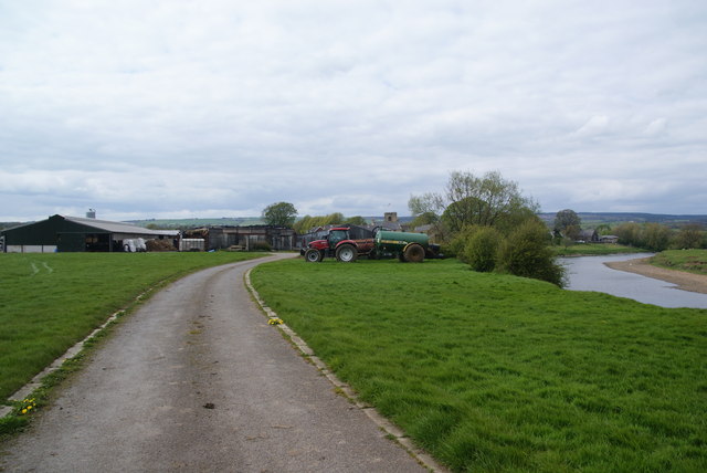
Image: © Bill Boaden Taken: 5 May 2012
The River Ribble runs to the right. The tower of St Wilfrid's church is behind the farm buildings.
Images are licensed for reuse under creativecommons.org/licenses/by-sa/2.0
Image Location
Latitude
53.807587
Longitude
-2.532664