Bonfield Terrace
Introduction
The photograph on this page of Bonfield Terrace by Colin Smith as part of the Geograph project.
The Geograph project started in 2005 with the aim of publishing, organising and preserving representative images for every square kilometre of Great Britain, Ireland and the Isle of Man.

There are currently over 7.5m images from over 14,400 individuals and you can help contribute to the project by visiting https://www.geograph.org.uk
Bonfield Terrace
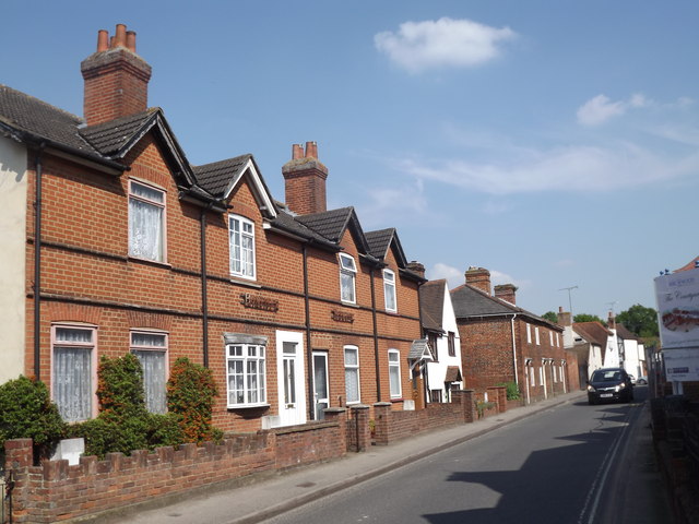
Image: © Colin Smith Taken: 22 May 2012
So says the old name on the wall of this red brick terrace of cottages on Ripley's Newark Lane. http://www.discoverripley.co.uk/
Images are licensed for reuse under creativecommons.org/licenses/by-sa/2.0
Image Location
Latitude
51.300361
Longitude
-0.493694