East Llanteg, Llanteg
Introduction
The photograph on this page of East Llanteg, Llanteg by welshbabe as part of the Geograph project.
The Geograph project started in 2005 with the aim of publishing, organising and preserving representative images for every square kilometre of Great Britain, Ireland and the Isle of Man.

There are currently over 7.5m images from over 14,400 individuals and you can help contribute to the project by visiting https://www.geograph.org.uk
East Llanteg, Llanteg
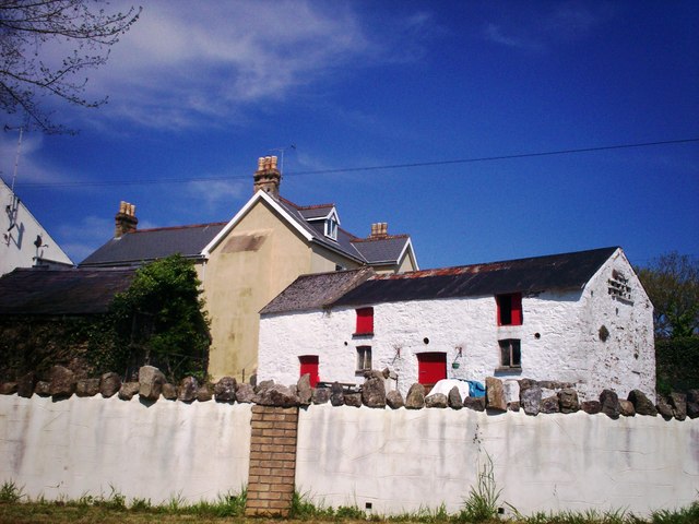
Image: © welshbabe Taken: 21 May 2012
East Llanteg farmhouse in the background behind the farm buildings. East Llanteg has a very large outside chimney and the property is three storey.
Images are licensed for reuse under creativecommons.org/licenses/by-sa/2.0
Image Location
Latitude
51.762495
Longitude
-4.636542