Pelham Bridge and the old coal yard
Introduction
The photograph on this page of Pelham Bridge and the old coal yard by Jo and Steve Turner as part of the Geograph project.
The Geograph project started in 2005 with the aim of publishing, organising and preserving representative images for every square kilometre of Great Britain, Ireland and the Isle of Man.

There are currently over 7.5m images from over 14,400 individuals and you can help contribute to the project by visiting https://www.geograph.org.uk
Pelham Bridge and the old coal yard
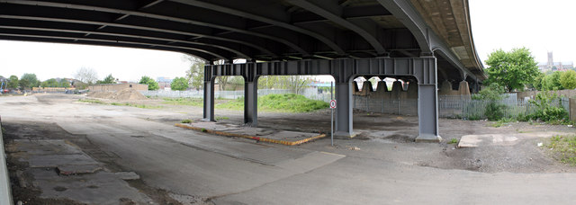
Image: © Jo and Steve Turner Taken: 20 May 2012
Network Rail would have High Street crossing closed (but don't want to pay for a foot bridge) however they still have plans to increase the amount of freight traffic through Lincoln. To help to mitigate some of the impact of that, this is the proposed route of a new east-west relief road connecting Tentercroft Street to the Kesteven Street & Great Northern Terrace roundabout. Subject to planning, work will start in 2013. Update: Work on the £22m relief road eventually started in November 2014 and it opened in August 2016.
Images are licensed for reuse under creativecommons.org/licenses/by-sa/2.0
Image Location
Latitude
53.224757
Longitude
-0.536402