Ryburn Buildings and the River Ryburn, Sowerby Bridge
Introduction
The photograph on this page of Ryburn Buildings and the River Ryburn, Sowerby Bridge by Paul Buckingham as part of the Geograph project.
The Geograph project started in 2005 with the aim of publishing, organising and preserving representative images for every square kilometre of Great Britain, Ireland and the Isle of Man.

There are currently over 7.5m images from over 14,400 individuals and you can help contribute to the project by visiting https://www.geograph.org.uk
Ryburn Buildings and the River Ryburn, Sowerby Bridge
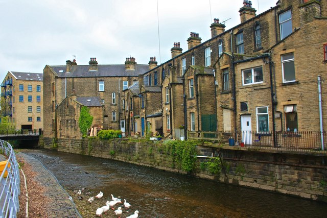
Image: © Paul Buckingham Taken: 19 May 2012
Rear view of Ryburn Buildings. They were built in 1884 and my grandfather lived in number 26 along with his parents, siblings and grandfather in 1891
Images are licensed for reuse under creativecommons.org/licenses/by-sa/2.0
Image Location
Latitude
53.707175
Longitude
-1.912552