Mansford Street, E2: back of the former Unitarian manse
Introduction
The photograph on this page of Mansford Street, E2: back of the former Unitarian manse by Christopher Hilton as part of the Geograph project.
The Geograph project started in 2005 with the aim of publishing, organising and preserving representative images for every square kilometre of Great Britain, Ireland and the Isle of Man.

There are currently over 7.5m images from over 14,400 individuals and you can help contribute to the project by visiting https://www.geograph.org.uk
Mansford Street, E2: back of the former Unitarian manse
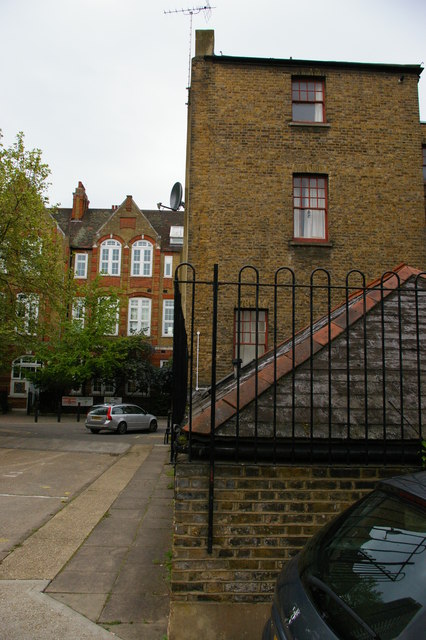
Image: © Christopher Hilton Taken: 18 May 2012
Off to the right is the Unitarian chapel: this, and the former manse in the centre of the picture, are now occupied by the Chalice Foundation, a Unitarian charity. Beyond the former manse is the Victorian building of Lawdale School. For an image taken from approximately the same spot in 1988 see Image
Images are licensed for reuse under creativecommons.org/licenses/by-sa/2.0
Image Location
Latitude
51.528361
Longitude
-0.061902