South Street
Introduction
The photograph on this page of South Street by Simon Carey as part of the Geograph project.
The Geograph project started in 2005 with the aim of publishing, organising and preserving representative images for every square kilometre of Great Britain, Ireland and the Isle of Man.

There are currently over 7.5m images from over 14,400 individuals and you can help contribute to the project by visiting https://www.geograph.org.uk
South Street
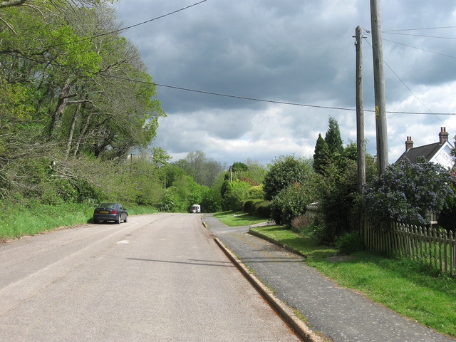
Image: © Simon Carey Taken: 13 May 2012
This part of the former A22 is now a cul-de-sac allowing access to the properties on the right only. Moat Wood is on the left.
Images are licensed for reuse under creativecommons.org/licenses/by-sa/2.0
Image Location
Latitude
50.92035
Longitude
0.158162