North Downs Way on War Coppice Road
Introduction
The photograph on this page of North Downs Way on War Coppice Road by David Anstiss as part of the Geograph project.
The Geograph project started in 2005 with the aim of publishing, organising and preserving representative images for every square kilometre of Great Britain, Ireland and the Isle of Man.

There are currently over 7.5m images from over 14,400 individuals and you can help contribute to the project by visiting https://www.geograph.org.uk
North Downs Way on War Coppice Road
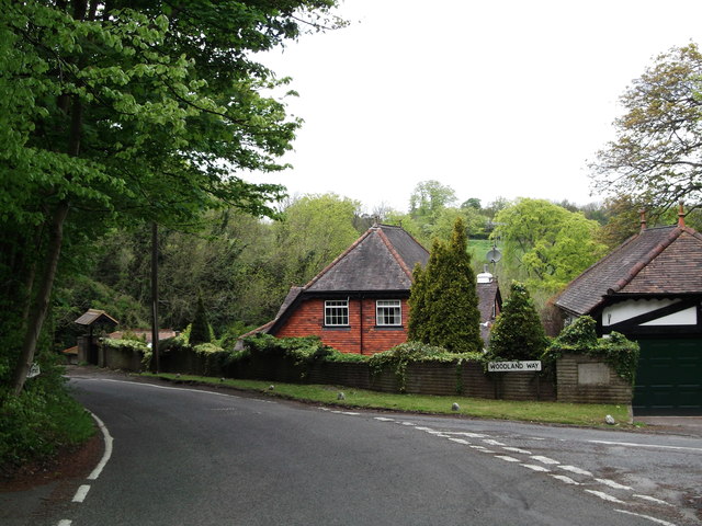
Image: © David Anstiss Taken: 16 May 2012
The long-distance path leads along a narrow road from Gravelly Hill to White Hill. The red tiled cottage in the background is Pilgrim's Cottage, because the road is part of the Pilgrims' Way.
Images are licensed for reuse under creativecommons.org/licenses/by-sa/2.0
Image Location
Latitude
51.263949
Longitude
-0.093257