Nottingham - NG6 (Bestwood)
Introduction
The photograph on this page of Nottingham - NG6 (Bestwood) by David Hallam-Jones as part of the Geograph project.
The Geograph project started in 2005 with the aim of publishing, organising and preserving representative images for every square kilometre of Great Britain, Ireland and the Isle of Man.

There are currently over 7.5m images from over 14,400 individuals and you can help contribute to the project by visiting https://www.geograph.org.uk
Nottingham - NG6 (Bestwood)
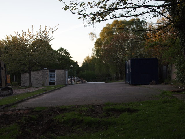
Image: © David Hallam-Jones Taken: 16 May 2012
The demolition of the Bestwood Day Centre for individuals with learning disability-related needs seems almost complete. The B683 - Bestwood Road - runs parallel with the premises forecourt seen here (i.e. to the right of the pre-cast concrete fence immediately behind the demolition workers' metal storage container).
Images are licensed for reuse under creativecommons.org/licenses/by-sa/2.0
Image Location
Latitude
53.014898
Longitude
-1.184769