Brimmond Hill
Introduction
The photograph on this page of Brimmond Hill by Colin Smith as part of the Geograph project.
The Geograph project started in 2005 with the aim of publishing, organising and preserving representative images for every square kilometre of Great Britain, Ireland and the Isle of Man.

There are currently over 7.5m images from over 14,400 individuals and you can help contribute to the project by visiting https://www.geograph.org.uk
Brimmond Hill
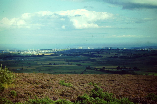
Image: © Colin Smith Taken: Unknown
Heather moorland on top of Brimmond Hill with view south-eastwards to the Cairncry skyscrapers of Aberdeen. http://www.walkhighlands.co.uk/aberdeenshire/brimmond-hill.shtml
Images are licensed for reuse under creativecommons.org/licenses/by-sa/2.0
Image Location
Latitude
57.172335
Longitude
-2.237131