Public Footpath to the Pocklington Canal
Introduction
The photograph on this page of Public Footpath to the Pocklington Canal by Andy Beecroft as part of the Geograph project.
The Geograph project started in 2005 with the aim of publishing, organising and preserving representative images for every square kilometre of Great Britain, Ireland and the Isle of Man.

There are currently over 7.5m images from over 14,400 individuals and you can help contribute to the project by visiting https://www.geograph.org.uk
Public Footpath to the Pocklington Canal
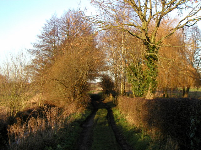
Image: © Andy Beecroft Taken: 17 Dec 2006
This track is from the village of Melbourne down to a swing bridge on the Pocklington Canal at Melbourne Ings.
Images are licensed for reuse under creativecommons.org/licenses/by-sa/2.0
Image Location
Latitude
53.89041
Longitude
-0.864883