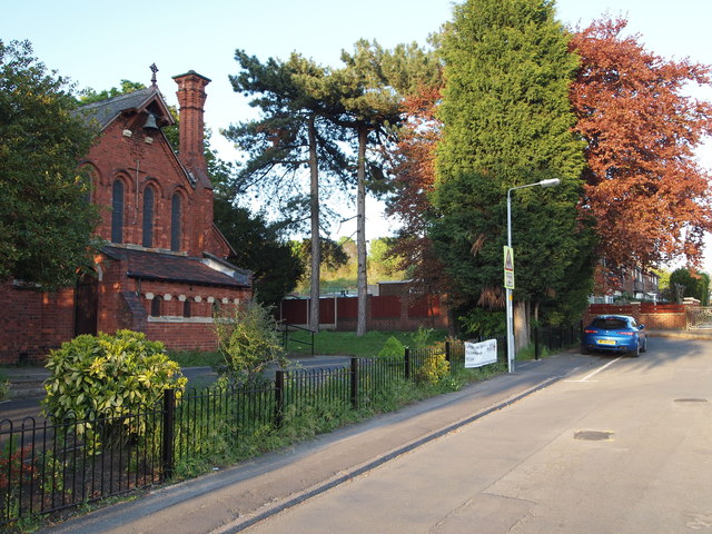
Nottingham - NG6 (Bestwood Village)
Introduction
The photograph on this page of Nottingham - NG6 (Bestwood Village) by David Hallam-Jones as part of the Geograph project.
The Geograph project started in 2005 with the aim of publishing, organising and preserving representative images for every square kilometre of Great Britain, Ireland and the Isle of Man.
There are currently over 7.5m images from over 14,400 individuals and you can help contribute to the project by visiting https://www.geograph.org.uk

Image: © David Hallam-Jones Taken: 16 May 2012
School Walk in Bestwood Village houses the local Primary School and the Anglican church. St Mark’s was opened in 1887 to serve an area that grew out of the work of the Bestwood Coal and Iron Company, founded in 1872. The company built the colliery, the associated offices, most of the houses in the village, the school, the ironworks and finally, the church. The Duke of St Albans donated the half acre of land close to the school room and the cemetery, both of which he had already given in 1885. Prior to this, between 1877-85, a service was conducted on Sundays, firstly in the colliery school room and later on, in the school proper. The church was re-ordered in 2009 to bring it up to modern standards and it is now part of a team ministry with several other local churches.

