Stanley Mills lade
Introduction
The photograph on this page of Stanley Mills lade by James Allan as part of the Geograph project.
The Geograph project started in 2005 with the aim of publishing, organising and preserving representative images for every square kilometre of Great Britain, Ireland and the Isle of Man.

There are currently over 7.5m images from over 14,400 individuals and you can help contribute to the project by visiting https://www.geograph.org.uk
Stanley Mills lade
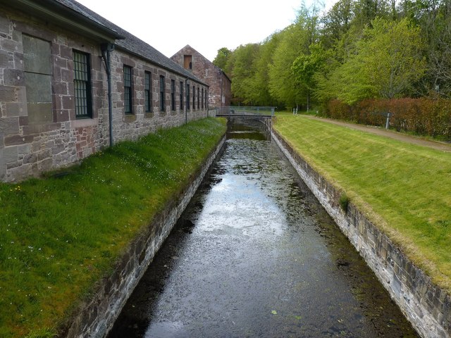
Image: © James Allan Taken: 15 May 2012
Leading water that is piped through a tunnel from a weir on the river Tay and supplying the water wheels that powered the mills.
Images are licensed for reuse under creativecommons.org/licenses/by-sa/2.0
Image Location
Latitude
56.479674
Longitude
-3.439441