Path beside Townland River, Oxted
Introduction
The photograph on this page of Path beside Townland River, Oxted by David Anstiss as part of the Geograph project.
The Geograph project started in 2005 with the aim of publishing, organising and preserving representative images for every square kilometre of Great Britain, Ireland and the Isle of Man.

There are currently over 7.5m images from over 14,400 individuals and you can help contribute to the project by visiting https://www.geograph.org.uk
Path beside Townland River, Oxted
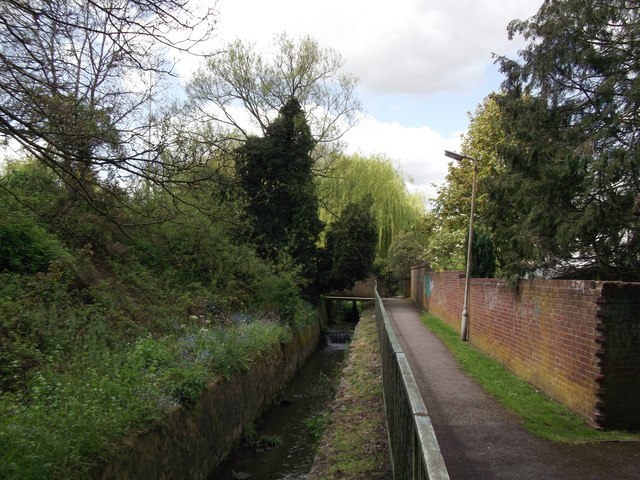
Image: © David Anstiss Taken: 16 May 2012
This river (looking upstream) flows from Townland Pond to join the River Eden later. This small section is within a culvert beside a cottage near the A25. The River Eden starts near Oxted before flowing down to Edenbridge. A path leads from Church Lane towards Old Oxted High Street.
Images are licensed for reuse under creativecommons.org/licenses/by-sa/2.0
Image Location
Latitude
51.253383
Longitude
-0.014875