Bridge the stream
Introduction
The photograph on this page of Bridge the stream by Michael Dibb as part of the Geograph project.
The Geograph project started in 2005 with the aim of publishing, organising and preserving representative images for every square kilometre of Great Britain, Ireland and the Isle of Man.

There are currently over 7.5m images from over 14,400 individuals and you can help contribute to the project by visiting https://www.geograph.org.uk
Bridge the stream
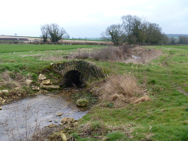
Image: © Michael Dibb Taken: 18 Mar 2012
The footpath to Eastend crosses the stream and heads to the left. A second footpath follows the stream towards where it flows into the River Evenlode.
Images are licensed for reuse under creativecommons.org/licenses/by-sa/2.0
Image Location
Latitude
51.891554
Longitude
-1.527404