Former Railway Bridge at Clifton Reynes
Introduction
The photograph on this page of Former Railway Bridge at Clifton Reynes by Nigel Stickells as part of the Geograph project.
The Geograph project started in 2005 with the aim of publishing, organising and preserving representative images for every square kilometre of Great Britain, Ireland and the Isle of Man.

There are currently over 7.5m images from over 14,400 individuals and you can help contribute to the project by visiting https://www.geograph.org.uk
Former Railway Bridge at Clifton Reynes
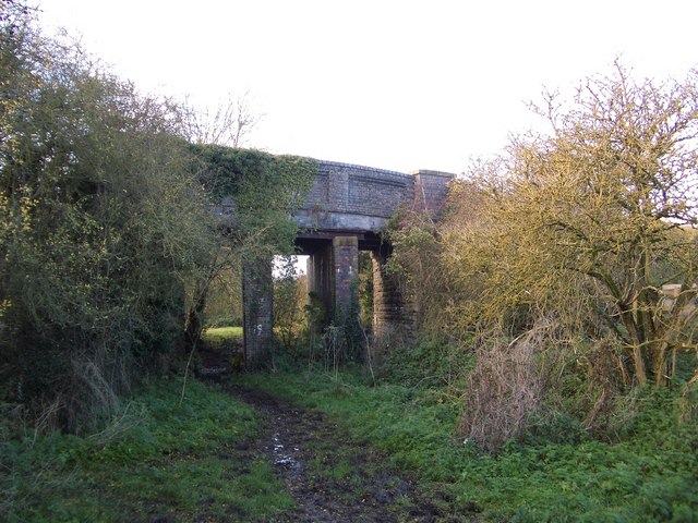
Image: © Nigel Stickells Taken: 26 Nov 2006
This bridge carries a farm access road and the Three Shires bridleway over the track of the former Northampton/Bedford railway that was closed in 1962. The disused rail track is now re-used (behind camera) as a farm access road.
Images are licensed for reuse under creativecommons.org/licenses/by-sa/2.0
Image Location
Latitude
52.154357
Longitude
-0.677139