The Lisglass Road near Straid (3)
Introduction
The photograph on this page of The Lisglass Road near Straid (3) by Albert Bridge as part of the Geograph project.
The Geograph project started in 2005 with the aim of publishing, organising and preserving representative images for every square kilometre of Great Britain, Ireland and the Isle of Man.

There are currently over 7.5m images from over 14,400 individuals and you can help contribute to the project by visiting https://www.geograph.org.uk
The Lisglass Road near Straid (3)
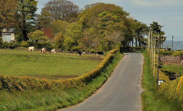
Image: © Albert Bridge Taken: 16 May 2012
See Image The Lisglass Road, just past the Slievetrue Road Image, heading in the general direction of Ballyclare. This stretch is at about 900ft but the road drops by 200ft over the next two miles. The whin hedge (right) is still showing good colour. Those at, or close to, sea level are now well past their best.
Images are licensed for reuse under creativecommons.org/licenses/by-sa/2.0
Image Location
Latitude
54.738653
Longitude
-5.898645