Northbound approach to A68/A689 crossroads
Introduction
The photograph on this page of Northbound approach to A68/A689 crossroads by Stanley Howe as part of the Geograph project.
The Geograph project started in 2005 with the aim of publishing, organising and preserving representative images for every square kilometre of Great Britain, Ireland and the Isle of Man.

There are currently over 7.5m images from over 14,400 individuals and you can help contribute to the project by visiting https://www.geograph.org.uk
Northbound approach to A68/A689 crossroads
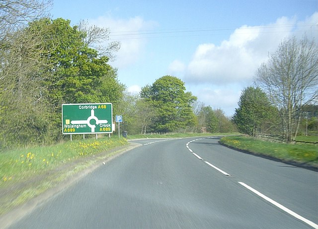
Image: © Stanley Howe Taken: 14 May 2012
Where the road between West Auckland and Corbridge (A68) intersects the Wolsingham to Crook road (A689).
Images are licensed for reuse under creativecommons.org/licenses/by-sa/2.0
Image Location
Latitude
54.711278
Longitude
-1.794315