Cheminee Persian Restaurant, Paddington
Introduction
The photograph on this page of Cheminee Persian Restaurant, Paddington by Jaggery as part of the Geograph project.
The Geograph project started in 2005 with the aim of publishing, organising and preserving representative images for every square kilometre of Great Britain, Ireland and the Isle of Man.

There are currently over 7.5m images from over 14,400 individuals and you can help contribute to the project by visiting https://www.geograph.org.uk
Cheminee Persian Restaurant, Paddington
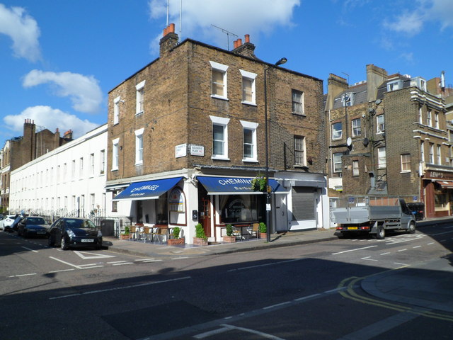
Image: © Jaggery Taken: 12 May 2012
On the corner of Bouverie Place and St Michael's Street, City of Westminster, London W2. There is a low wall and gap in the buildings on the right, behind the lorry. London Underground's railway lines are near road level here, between Paddington station and Edgware Road station.
Images are licensed for reuse under creativecommons.org/licenses/by-sa/2.0
Image Location
Latitude
51.517276
Longitude
-0.172491